


Garmin GPSMAP 79sc Marine Handheld GPS with BlueChart g3 Coastal Charts
Stay on course and track more adventures with this rugged, floating handheld
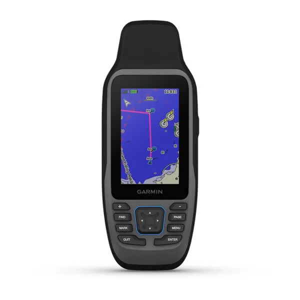
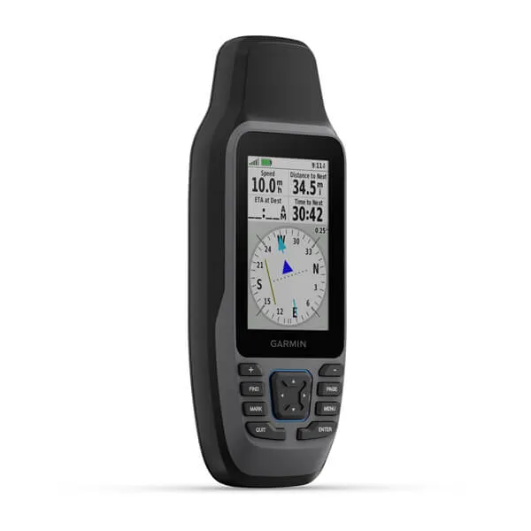
This handheld is water-resistant (IPX7) with a high-resolution color display you can read in the sun. The glass is even scratch-resistant and fogproof.
If rough waters come and the handheld goes overboard, don't worry. This device floats.
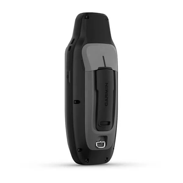
User-replaceable AA batteries (not included) provide up to 19 hours of battery life in GPS tracking mode.
With support for multiple satellite constellations -- such as GPS, GLONASS, Beidou, Galileo, QZSS and SBAS -- you'll get accurate, reliable tracking and positioning around the world.
More memory than previous models means you can save and track 10,000 waypoints, 250 routes and 300 fitness activity files.
The 3-axis tilt-compensated electronic compass shows your heading -- even while the boat is standing still.
Preloaded BlueChart g3 coastal charts give you leading-edge coverage, clarity and detail with integrated Garmin and Navionics data.
Product Highlights:
| Display | 3" color LCD |
|---|---|
| Resolution | 240 x 400 pixels |
| Battery | 2ea. AA (not included); NiMH or Lithium recommended |
| Mapping | Preloaded BlueChart g3 US. Coastal maps. Abiliity to add additonal charts via micro-SD card |
| Waypoints/Routes | 10,000 waypoints; 250 routes; 20,000 trackpoints; 250 saved tracks, 8 GB memory |
| Interface | USB, NMEA 0183 |
| Other Functions | Internal compass, optional street mapping, picture viewer |
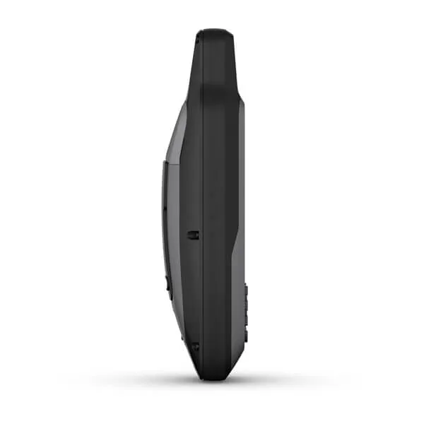
| Dimensions | 2.67"W x 6.85"H x 1.67"D; Wt:9.95 oz. |
| Waterproof | Yes (IPX7), floats |
| Warranty | Two years |
In the Box:
- GPSMAP 79
- Lanyard
- USB cable
- Documentation
, Black Pupil 3mm")


")

